
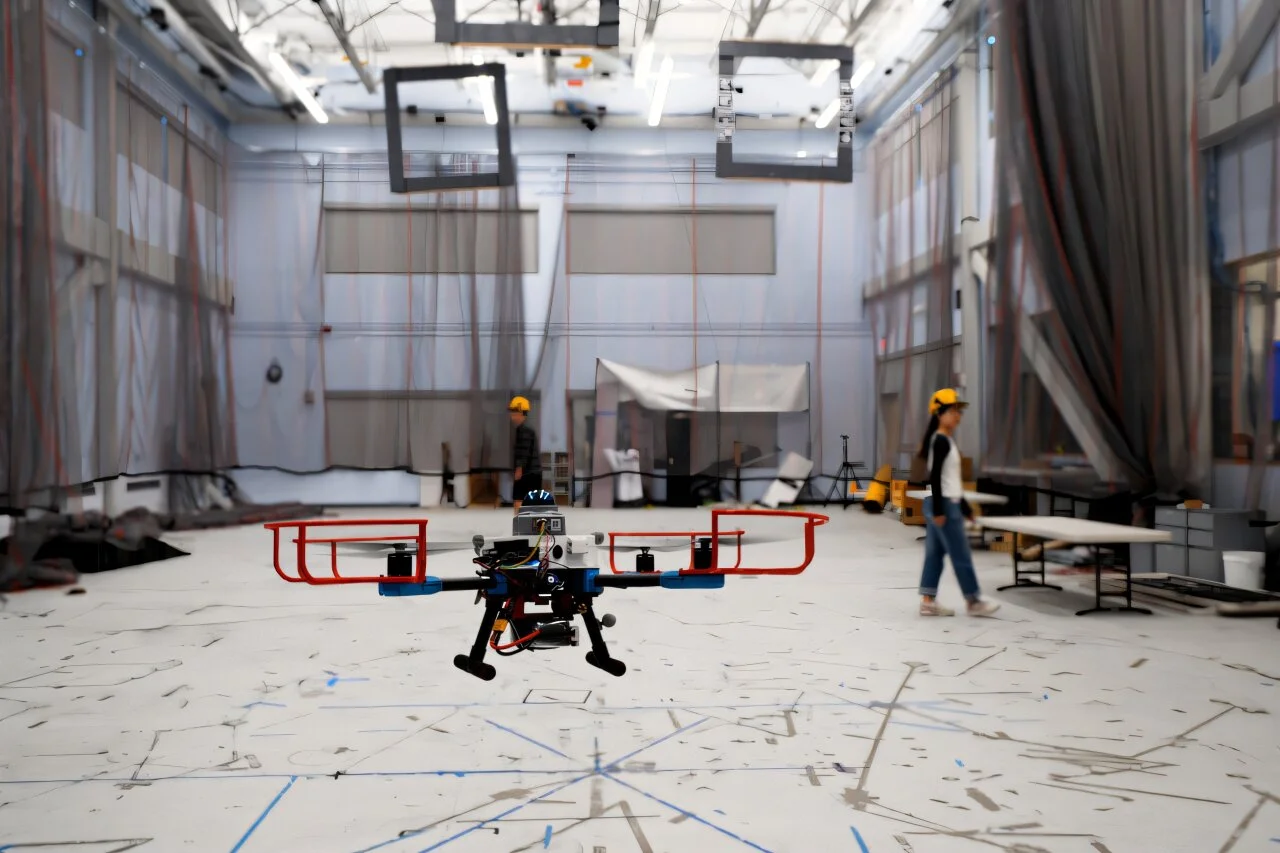
Disaster zones are terrible places to follow a preplanned route. Maps can be incomplete, debris can move, and the next hazard may arrive from any direction at any time. MIT’s new navigation system builds a safe flight corridor around the possible future movements of hazards, helping a drone avoid collisions even without a prior map.
Category: Drones, Consumer Tech, Technology
Tags: Robotics, Disasters, Mathematics, MIT, Mapping, Collision